
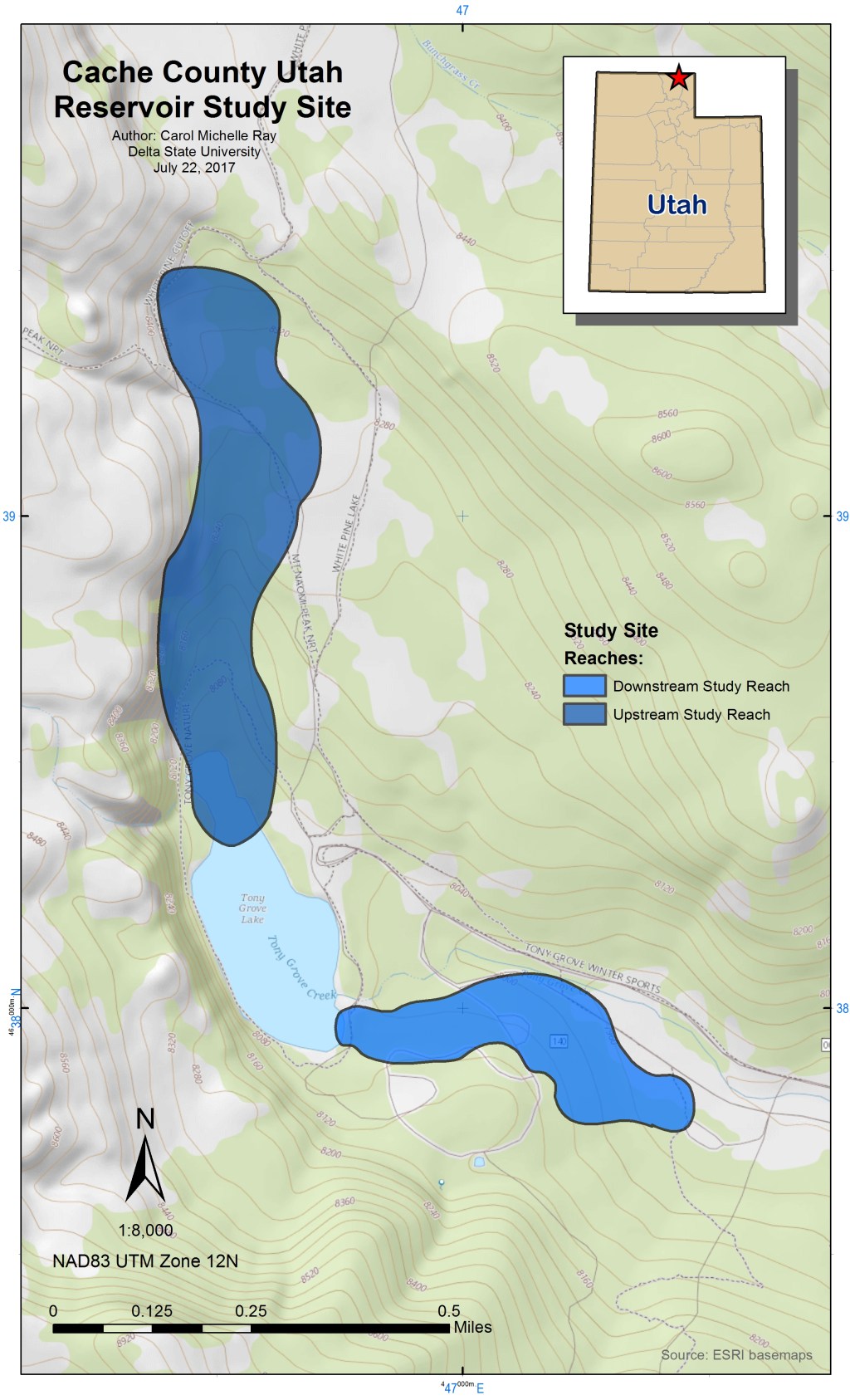
This is the first lab in GIS-580. It asked us to make a simple map in ArcMap using data from a reservoir study site in Cache County Utah. I embellished my map with scale, North arrow, title, credits, author, legend, and inset/locator map. The upper and lower reaches were drafted in a slightly different color and transparency is set to 75% in order to see topography and roads underneath them.
Here is a downloadable PDF version of the Cache County Study Site:
